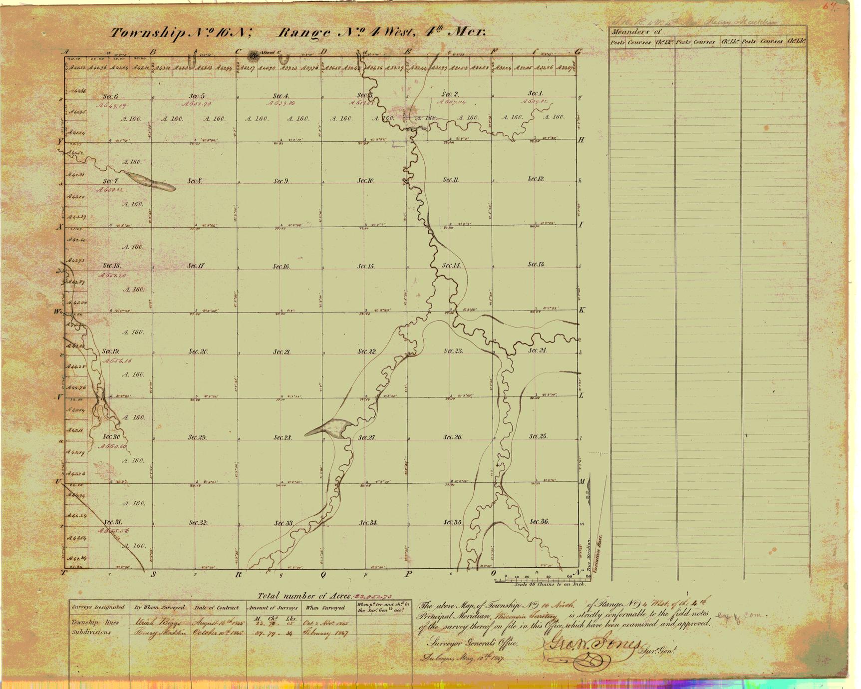
On May 20, 1785, the United States passed the Land Ordinance of 1785, which set precedent for how the government’s acquired land would be divided up and sold. Graphing refers to land described using the Rectangular Survey system. Land Graphing, just as land platting, involves drawing out the land description found in a land record, usually a land grant (the first sale of the land from the government to an individual) or a land deed (subsequent sales of the land between individuals). Land platting, however, is only half of the equation! Here in Part II we’ll talk about Land graphing, which is similar to platting but used in different situations.

In Part I of this two-part series, we discussed the importance of Land Platting – drawing out property boundaries as given in land records. These records do more than simply record where an ancestor lived or what property they owned they can be a wealth of information about relationships, economic status, and much more! Land records are an incredibly important resource when doing genealogy research in the United States.


 0 kommentar(er)
